A Hike On An Abandoned Stretch Of The D. S. & S. Railroad, Known To Me As The Stony Mountain Black Road.
")
Another cold and mostly sunny day here in Northeastern Pennsylvania, but today I was able to get out and enjoy that sunshine. I decided to hike out the Stony mountain black road, as it was known by the folks living in Green Ridge, my hometown, when I was growing up. As I have now learned it was once a stretch of the Coxe Brothers railroad, the D. S. & S. railroad. I found another section on my hike in the Heights section of hazleton last Sunday.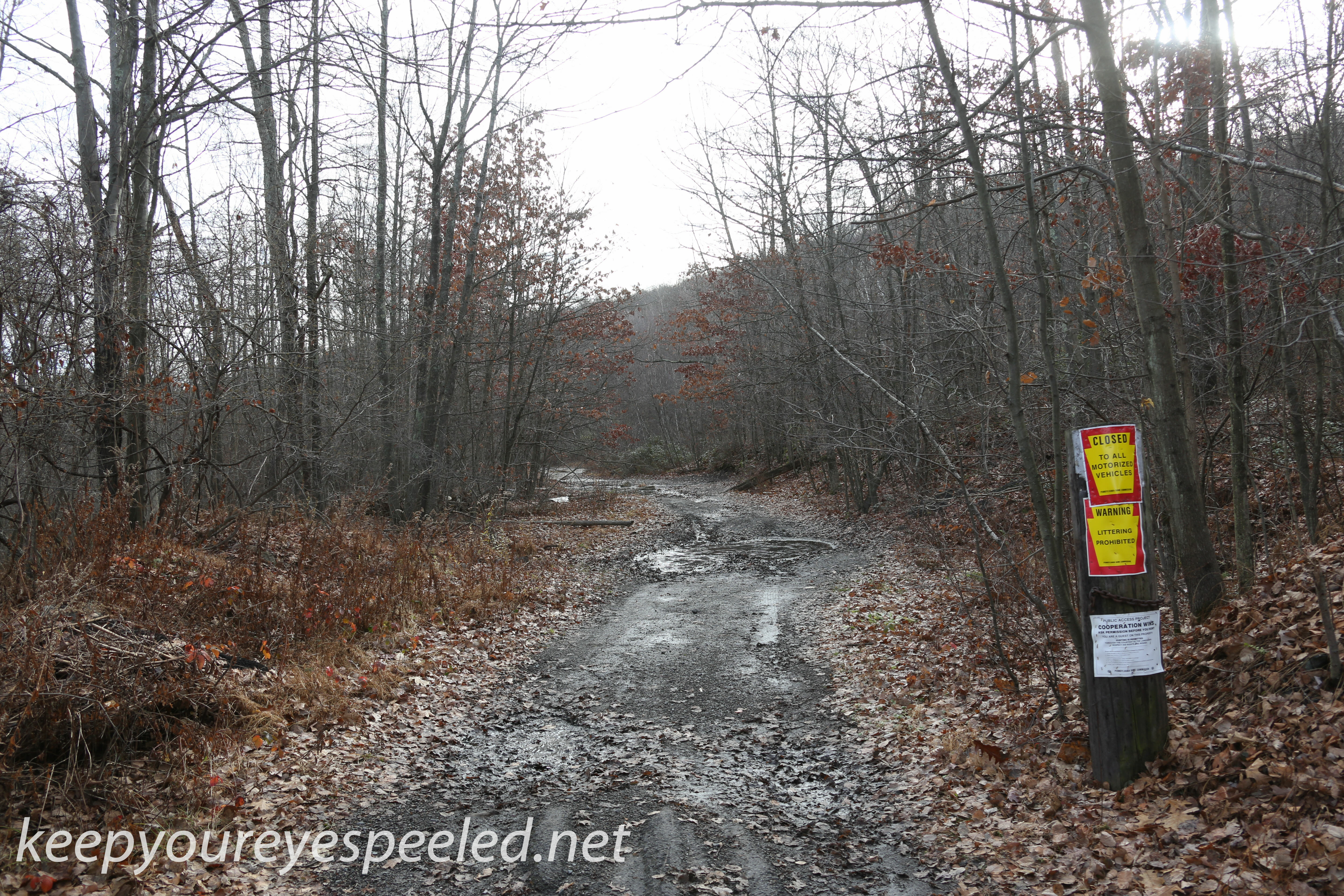
I walked this road many times from my house in the Green Ridge section of Hazle township, starting when I was in high school. As a kid growing up in Green Ridge we heard many stories of the campsites along the three creeks that flowed off Stony mountain and crossed the black road. We got a topographic map and learned they were simply named First, Second and Third creek.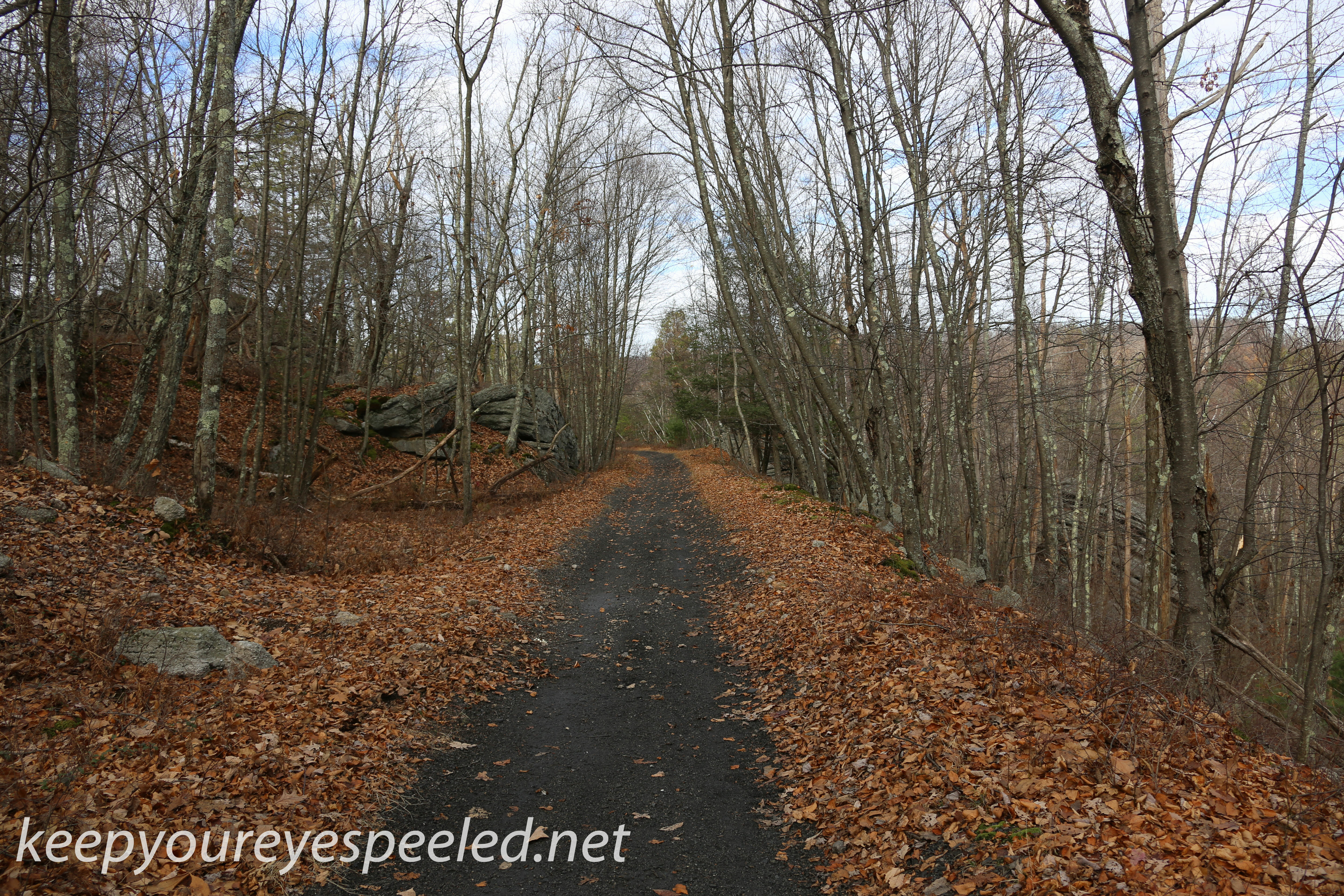
Today I started at the other end of the black road, where it intersects with the Weston road. The railroad once ran out to Derringer, Gown and Rock Glen, transporting coal from the Coxe mines to the terminal at Roan junction, where I hiked last Sunday. I am not sure when the trains stopped running but today there is little evidence that a railroad track once was here. this is one of the only remains. A cistern used for storing water for the steam engines. 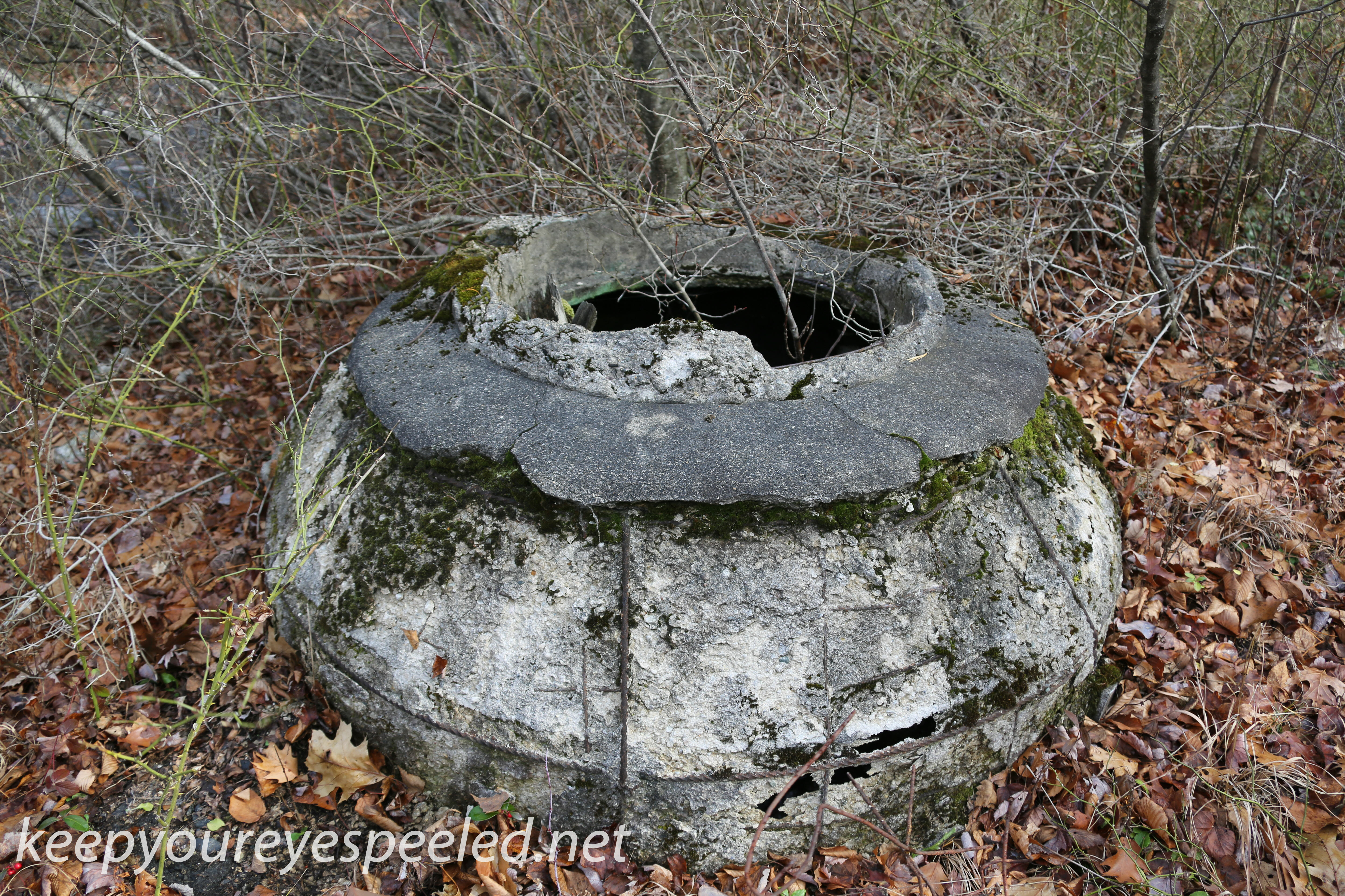
I walked due east, toward Hazleton, on the old railroad grade, It is now rutted and large puddles have formed the first half mile. Stony mountain is to the south and this portion of the road is owned be Eagle Rock, a residential development. I dread to hike up there since I am sure the forests I once knew are now gone, giving way to roads and houses.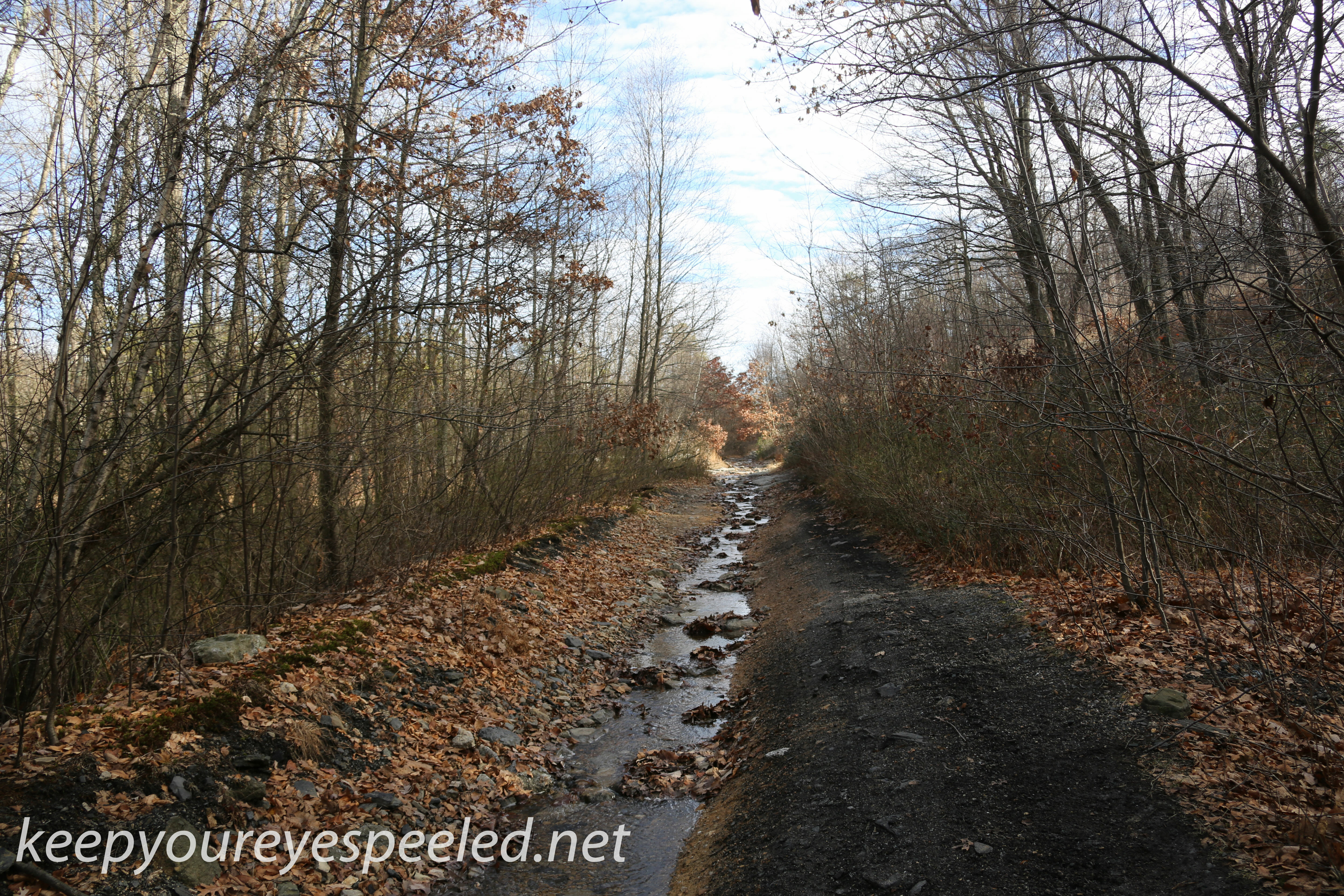
As I walked east I crossed a steep gas line, where, many years ago we tried sledding down the steep grade, it wasn’t a very good idea. The road became somewhat walkable again and I crossed the last of the three creeks we knew as Third Creek. 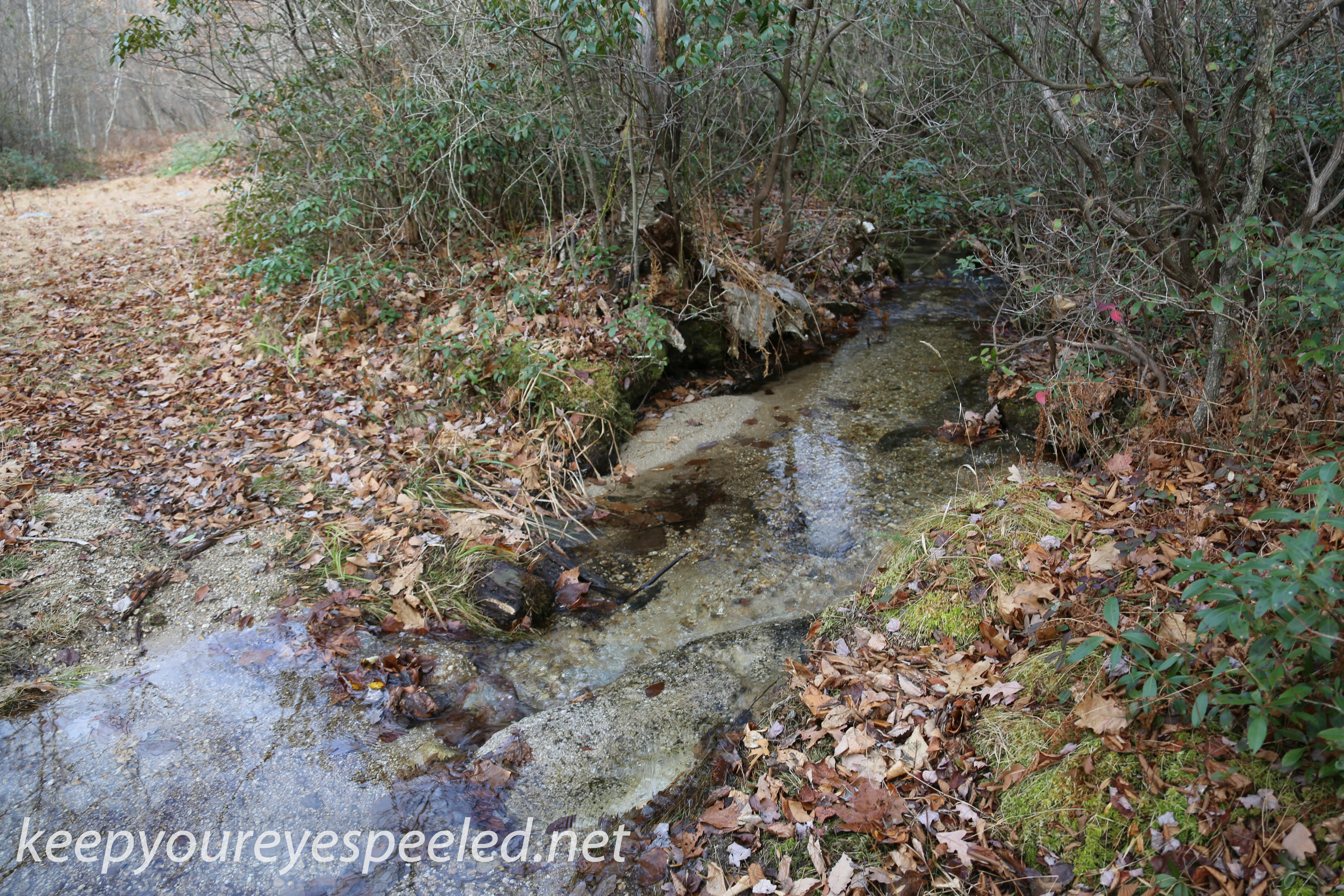
After about a mile hike I reached the pole and tower lines that cross the black road. This is as far as I would hike from Green Ridge, heading up the steep road along the pole line and to the road leading to the Humboldt reservoir. The view from up there was spectacular. I spent many hours sitting on those rocks taking in the view. 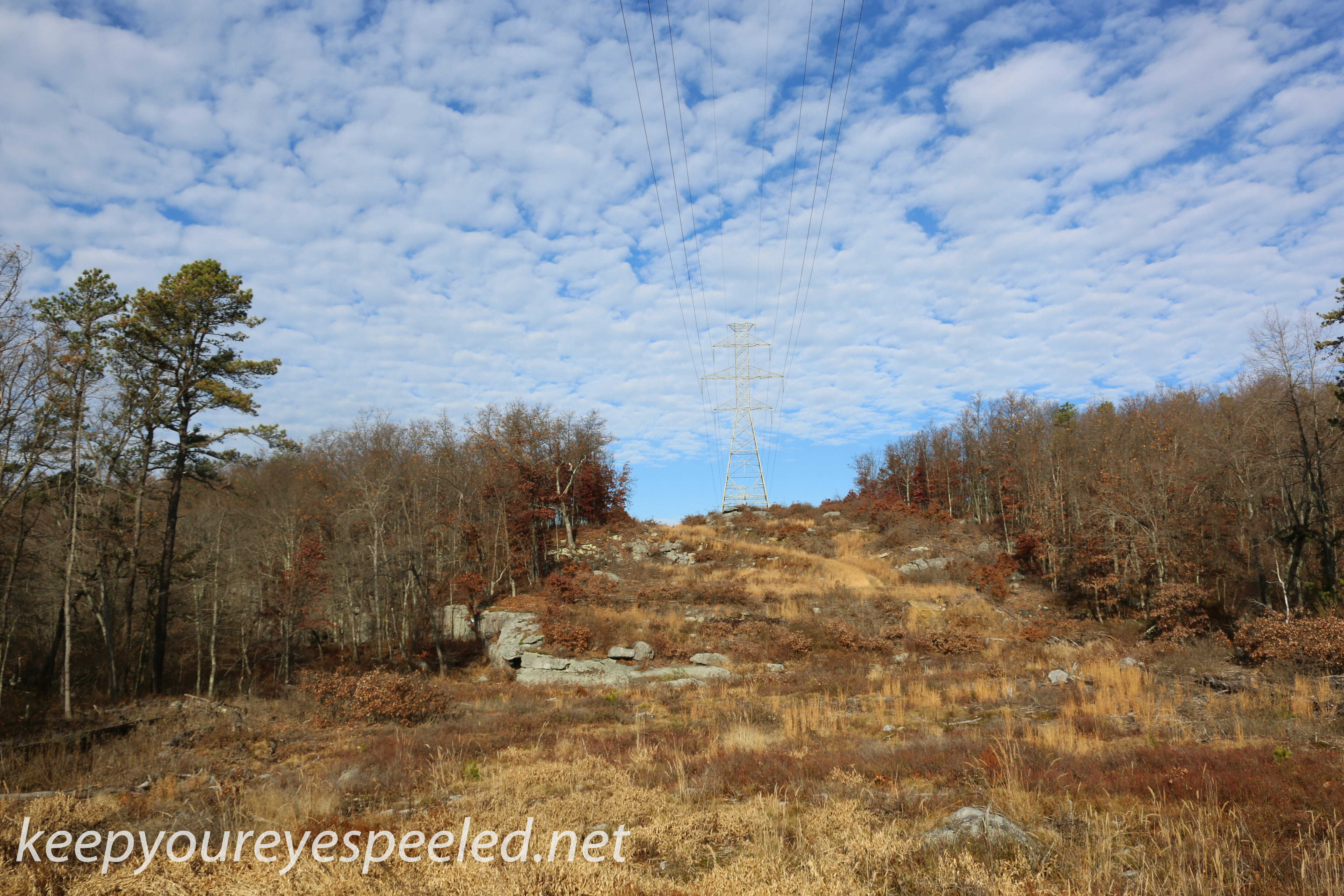
Today I walked down to the Black Creek. This has always been the creek where the sewage from the city of Hazleton and surrounding areas was discharged. It is now treated and smells of detergent. it smelled a lot worse when I walked out here many years ago.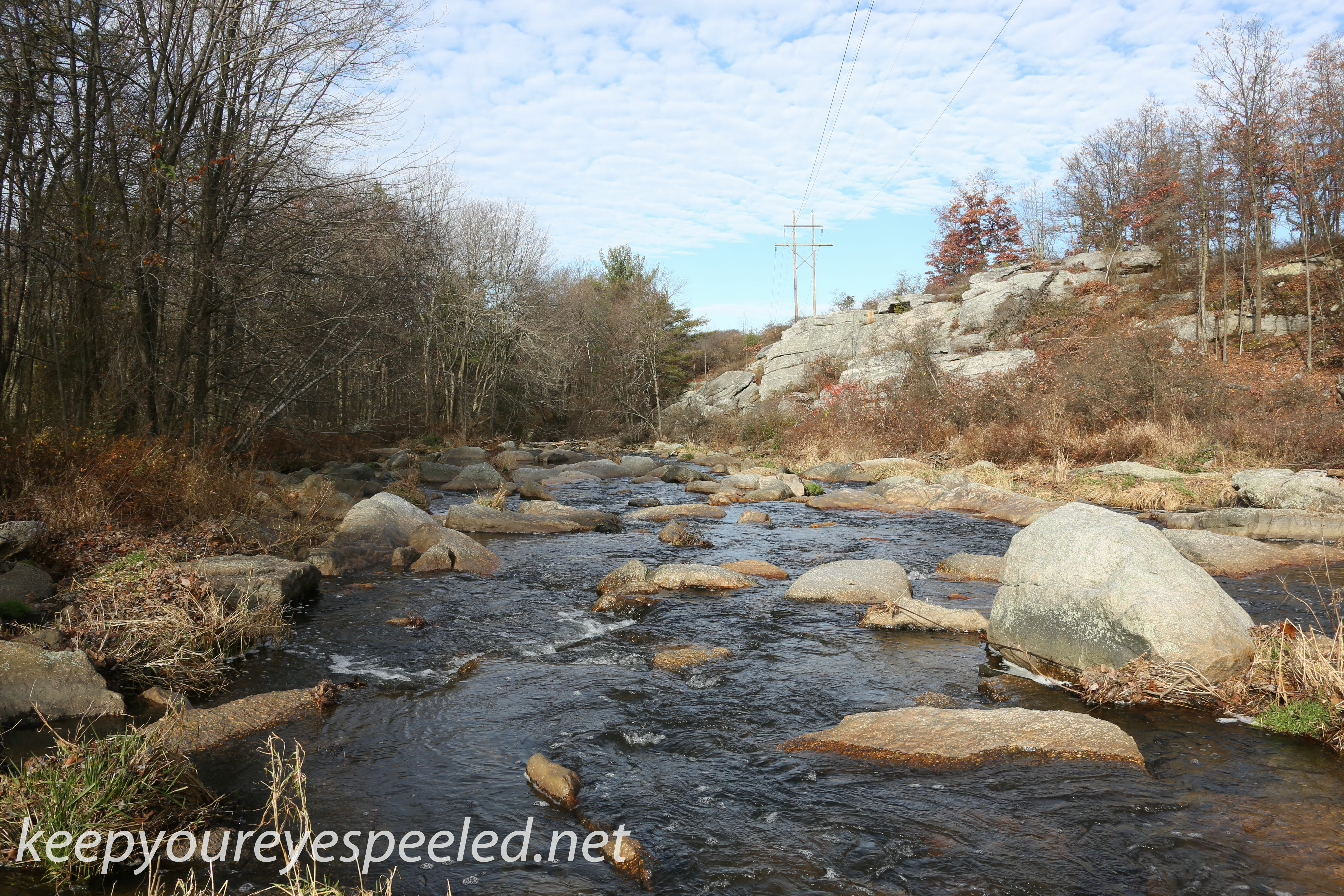
i found the remains of what looks like a bridge and wondered if the old railroad may have crossed the creek here. If anyone knows anything about this pleas feel free to comment.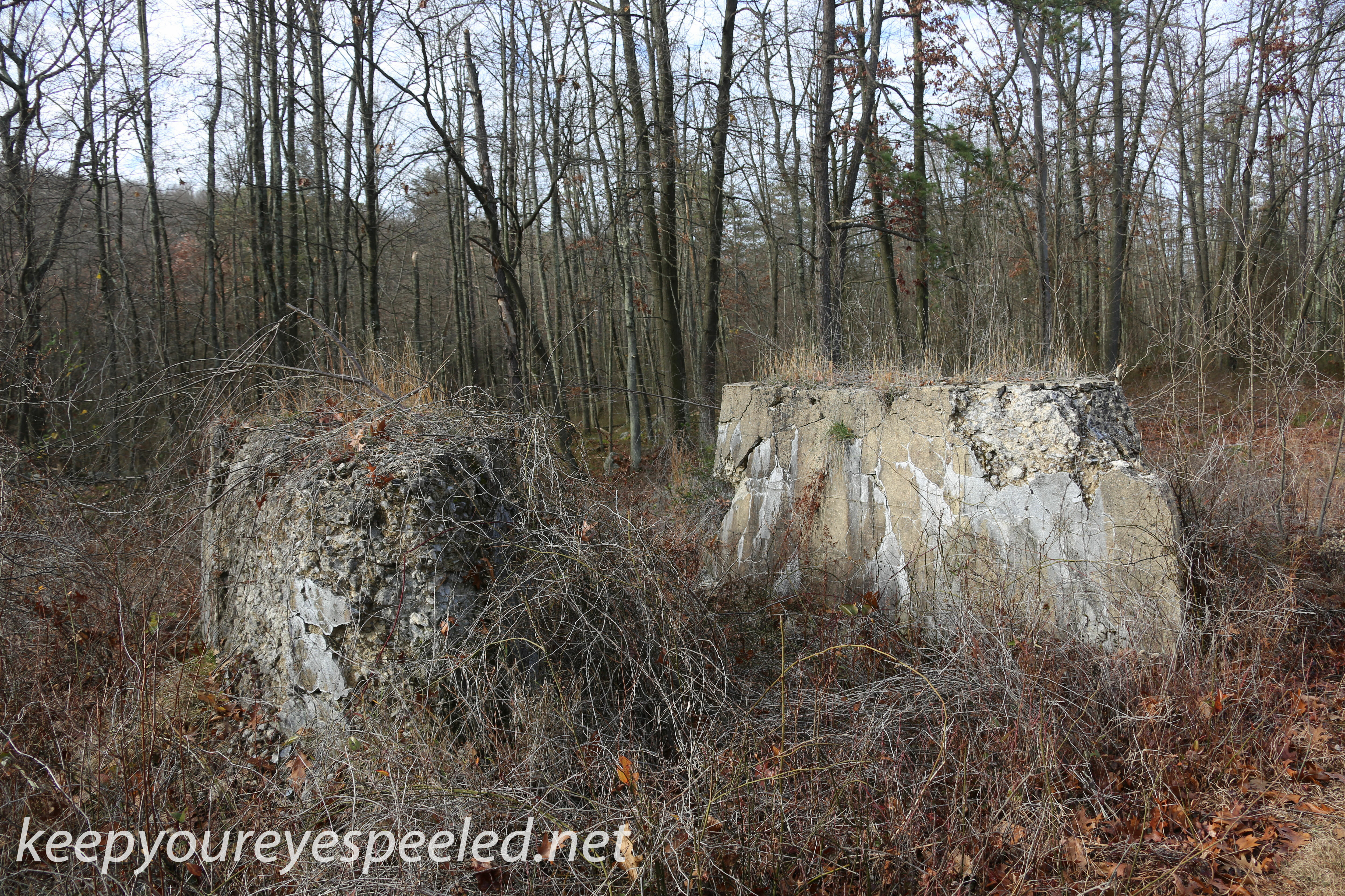
I headed back to the black road and found the the next portion of the road has become a stream. i found that a portion of Second Creek now flows over the old railroad right of way.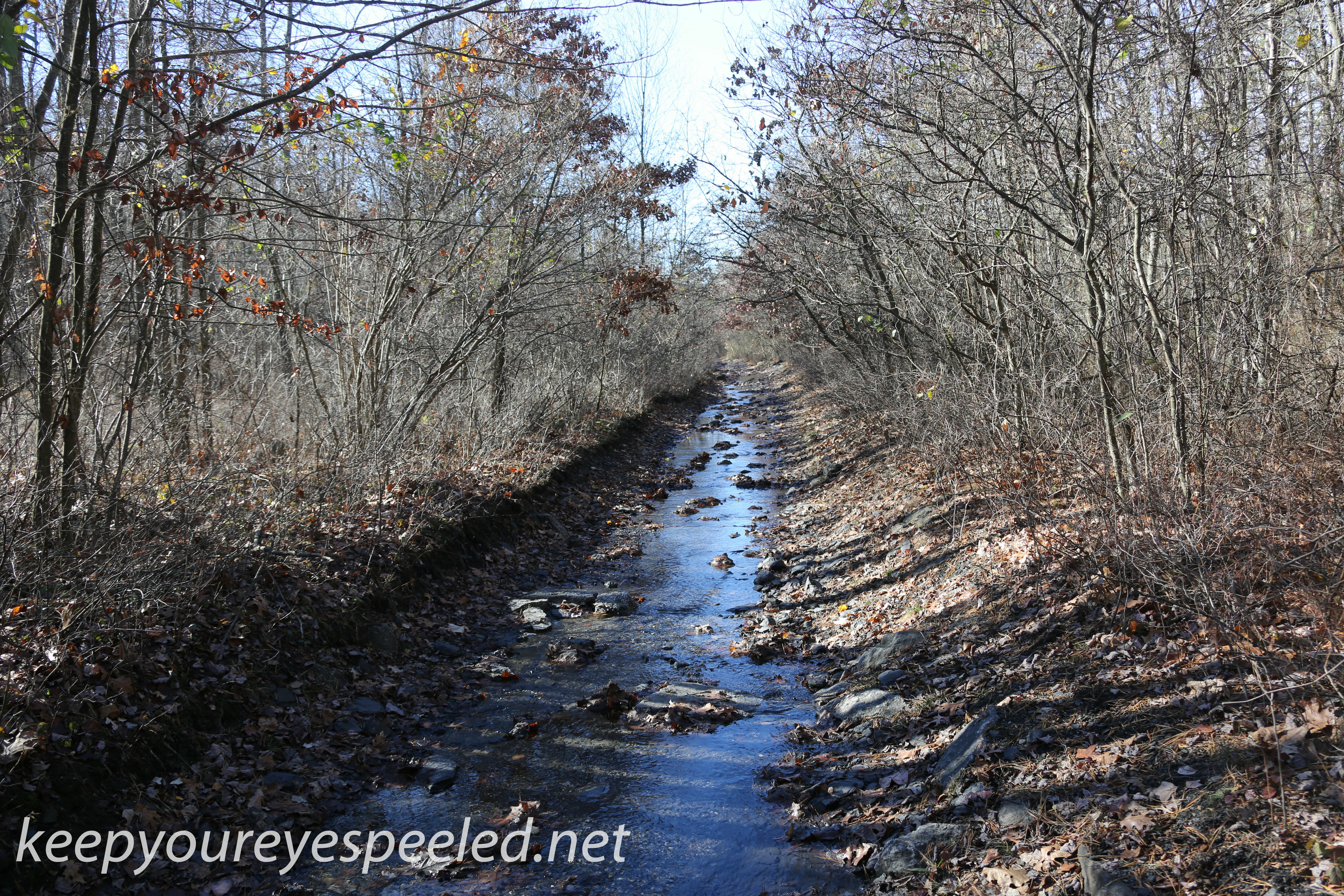
Second creek used to be a popular camp ground. I never camped here but heard many stories of the good times that many generations of Green Ridge residents shared here. I often came upon a warm camp fire .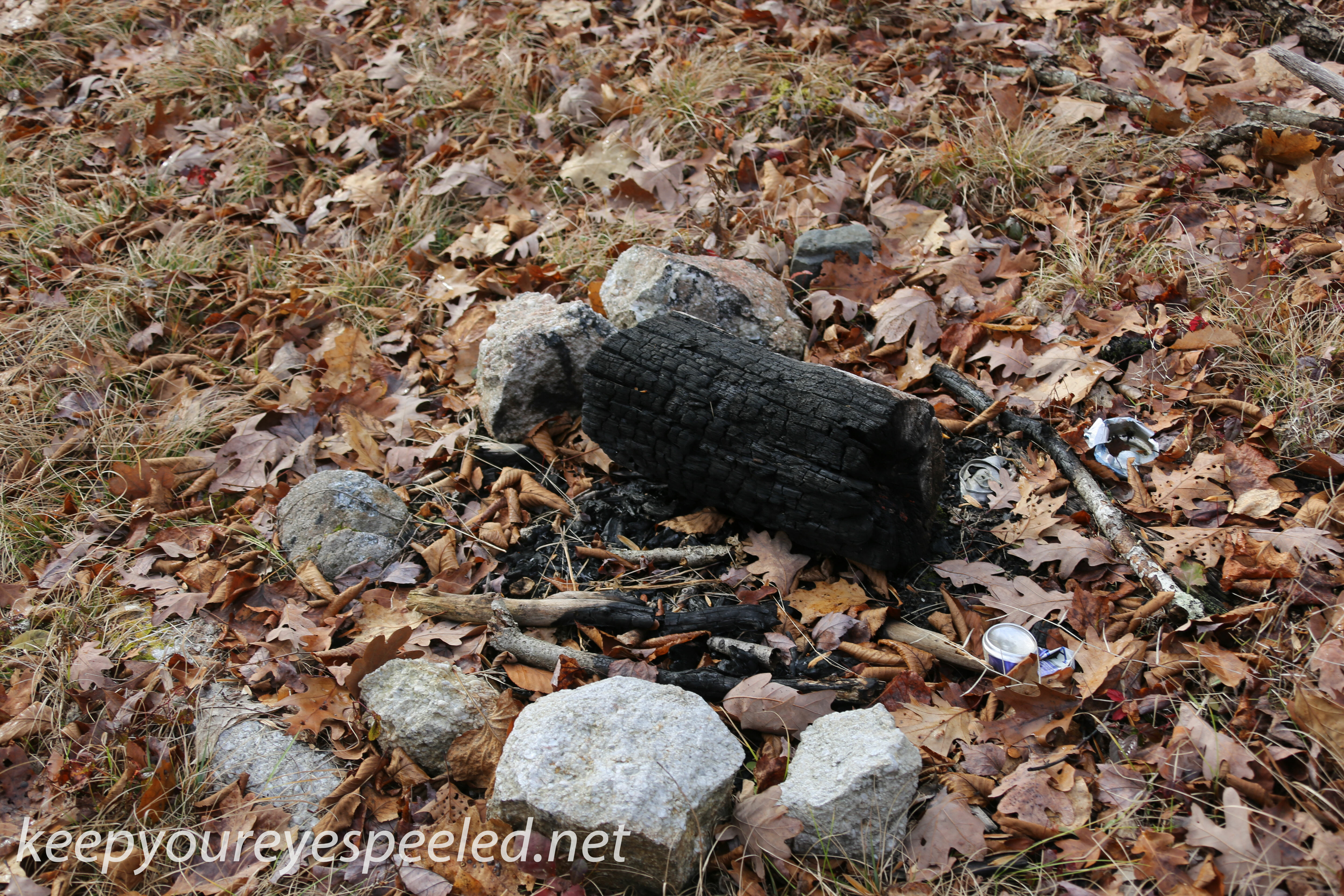
Today the area looks like it was not used in many years but the forest still echo with the laughter of those good times.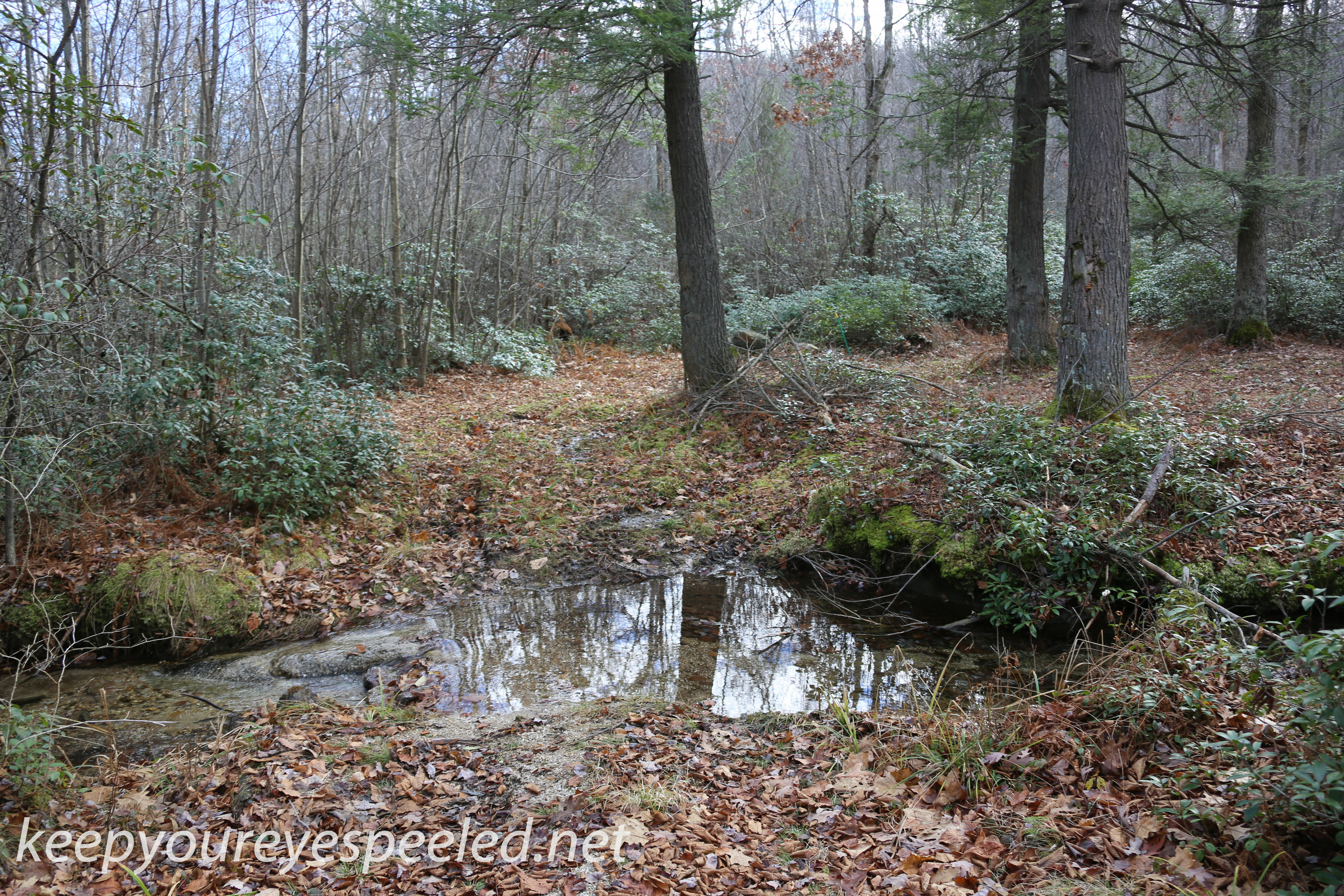
The road became easily walkable. again and the forests became thicker with larger oak, hemlock and pine trees. I spent many an hour sitting under these large pine threes reflecting on my life and my future.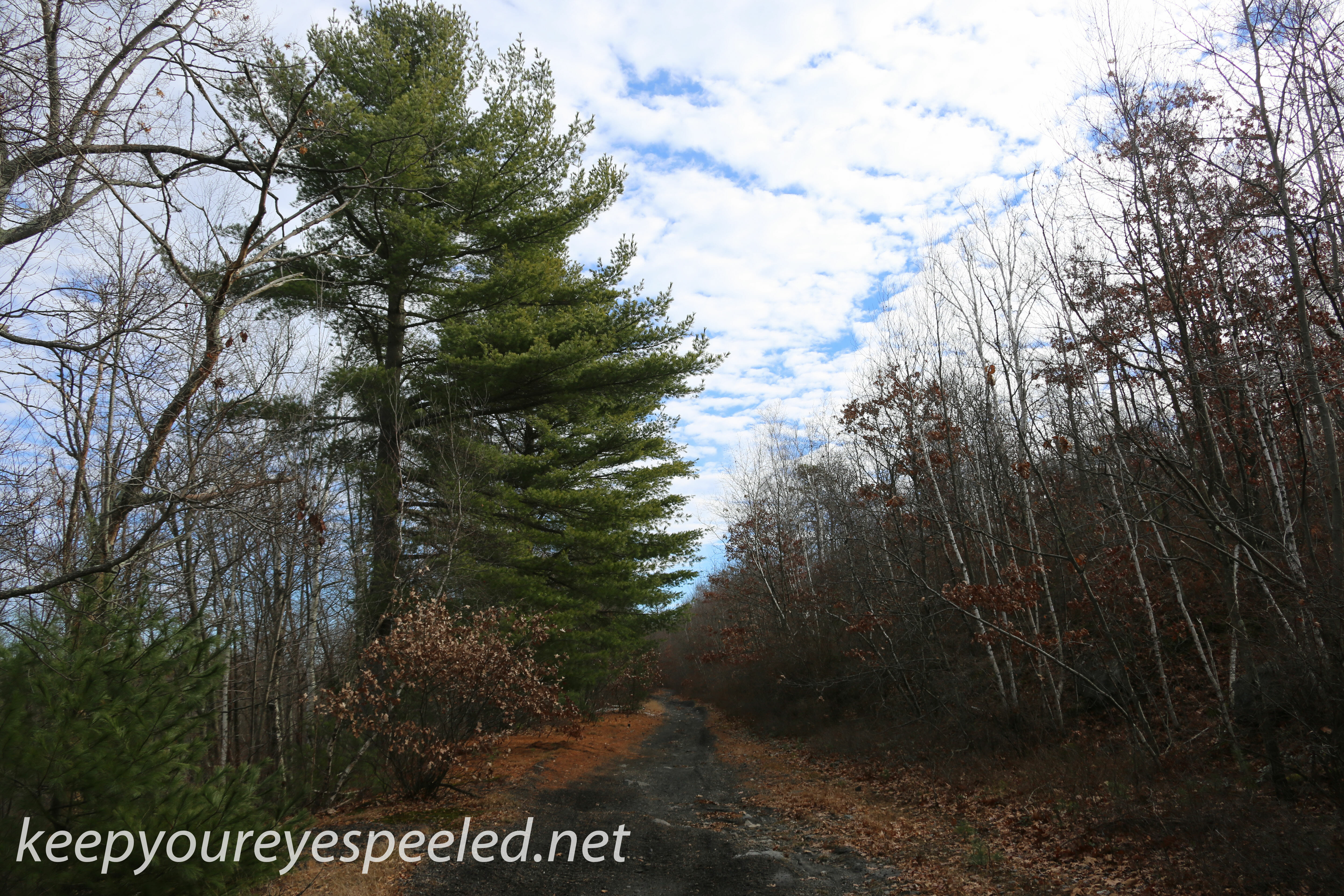
The road passes a second gas line and a single pole lines, both ascending steeply up stony mountain. I huffed and puffed my way up both of them many a day in the past. but not today I wanted to reach the end so I walked on.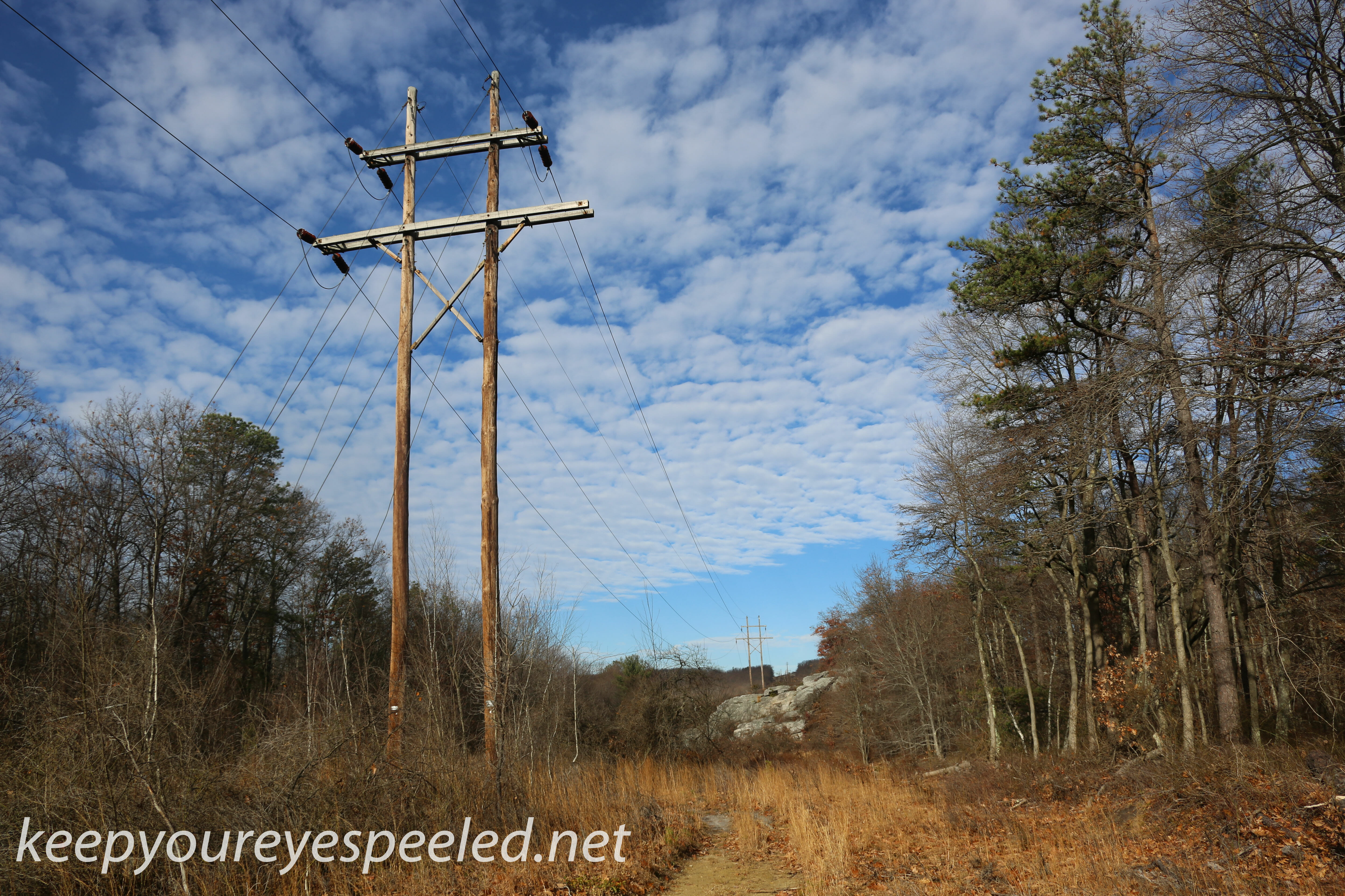
I now passed the last of the the creeks, First Creek and the road now narrowed as it made it;s way along stony mountain to the south and a steep ravine in which the black Creek flows to the north.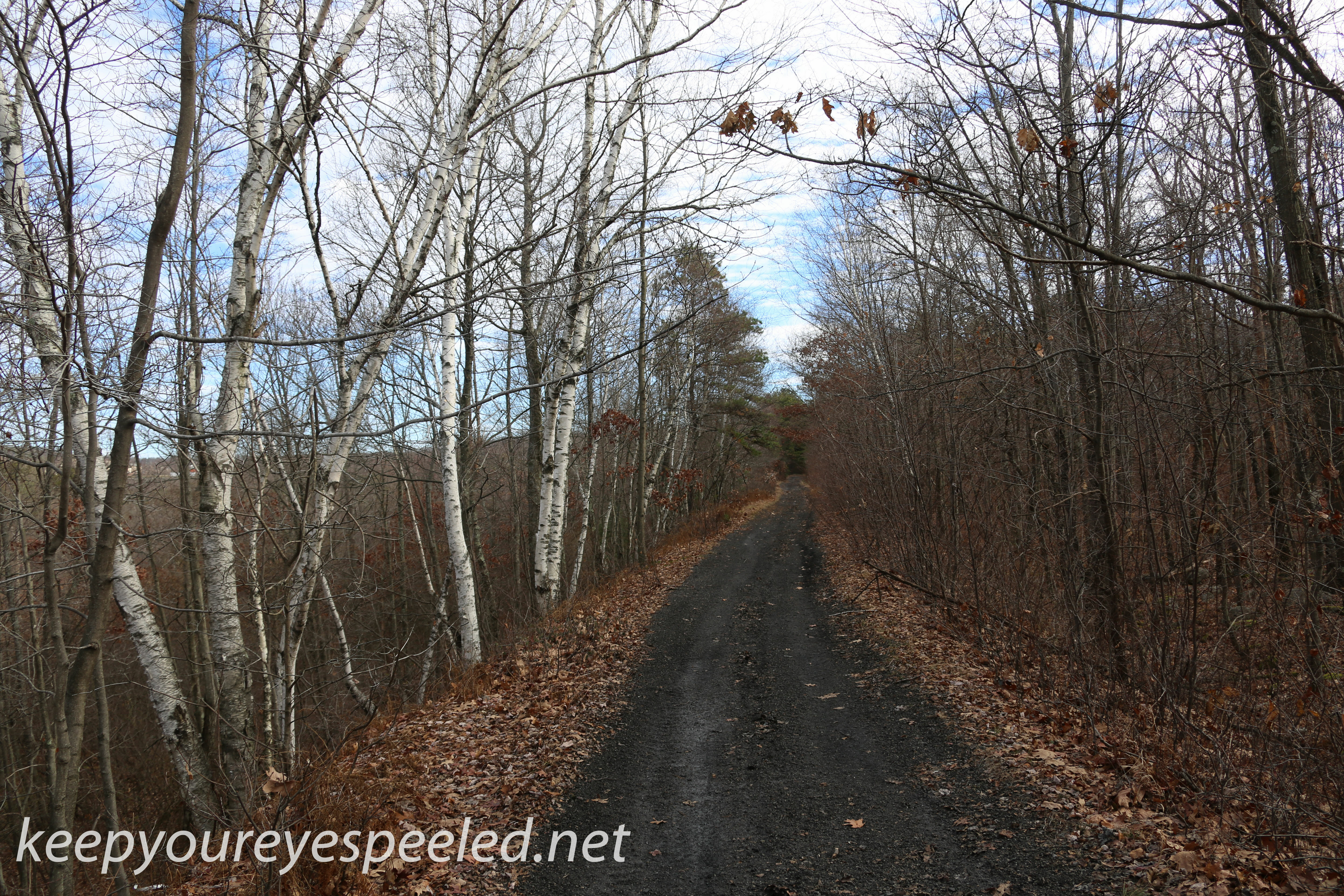
The last mile before the road begins at Interstate 81 is my favorite part of the hike. Huge rocks and boulders now protrude from the side of Stony mountain to the south and there are beautiful white birch trees along the steep ravine to the north.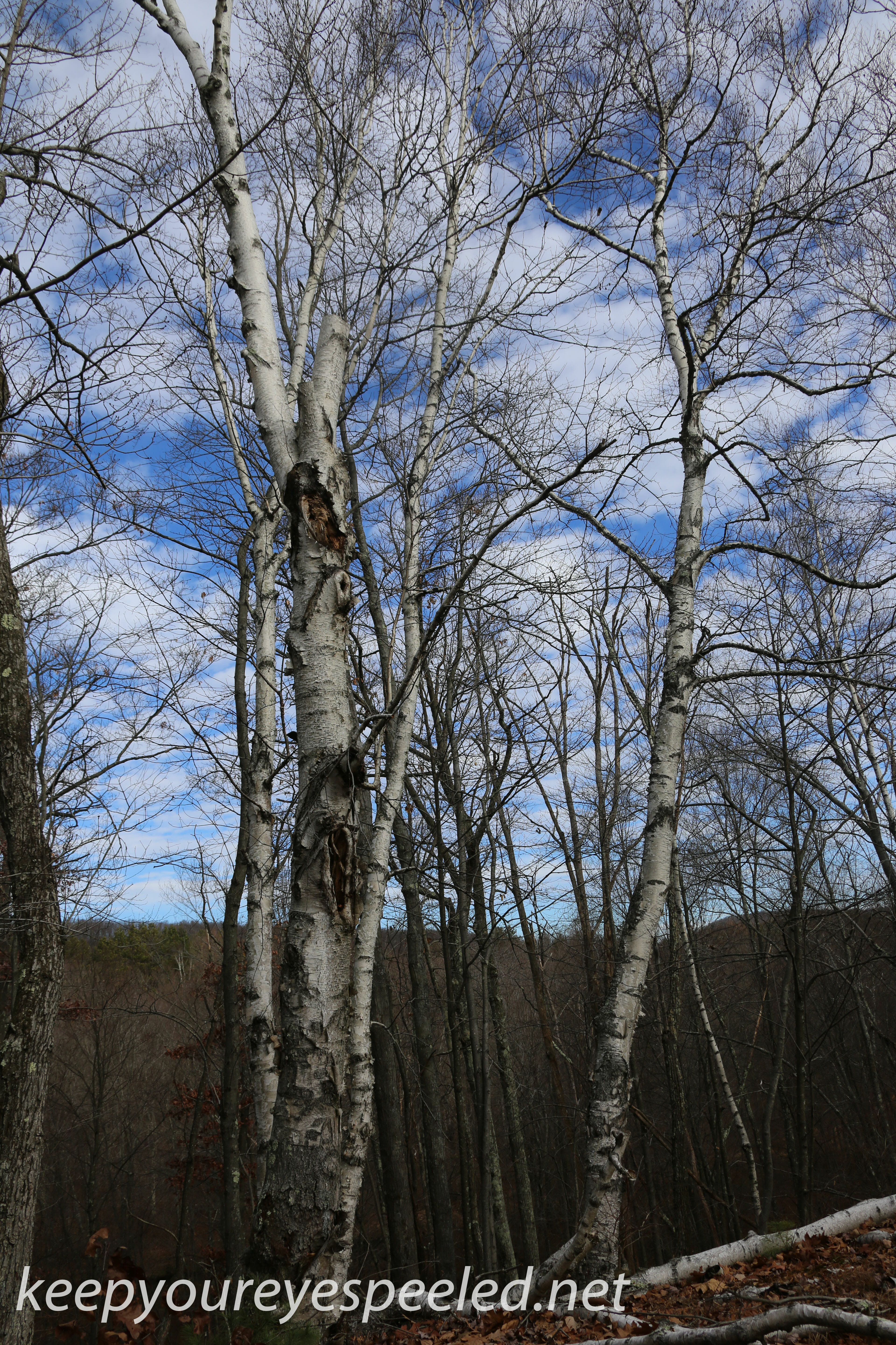
I remember one sub zero day in January when I was in college when I spent the entire day hiking out here and exploring these rocks with some friends. It was a good day.
Finally my hike ended where the black road began, for us Green Ridge folks in my day, where it meets a gas line next to Interstate 81. The old railroad right of way once ran along the route of the present day interstate and made it’s way to the railroad tracks near my house.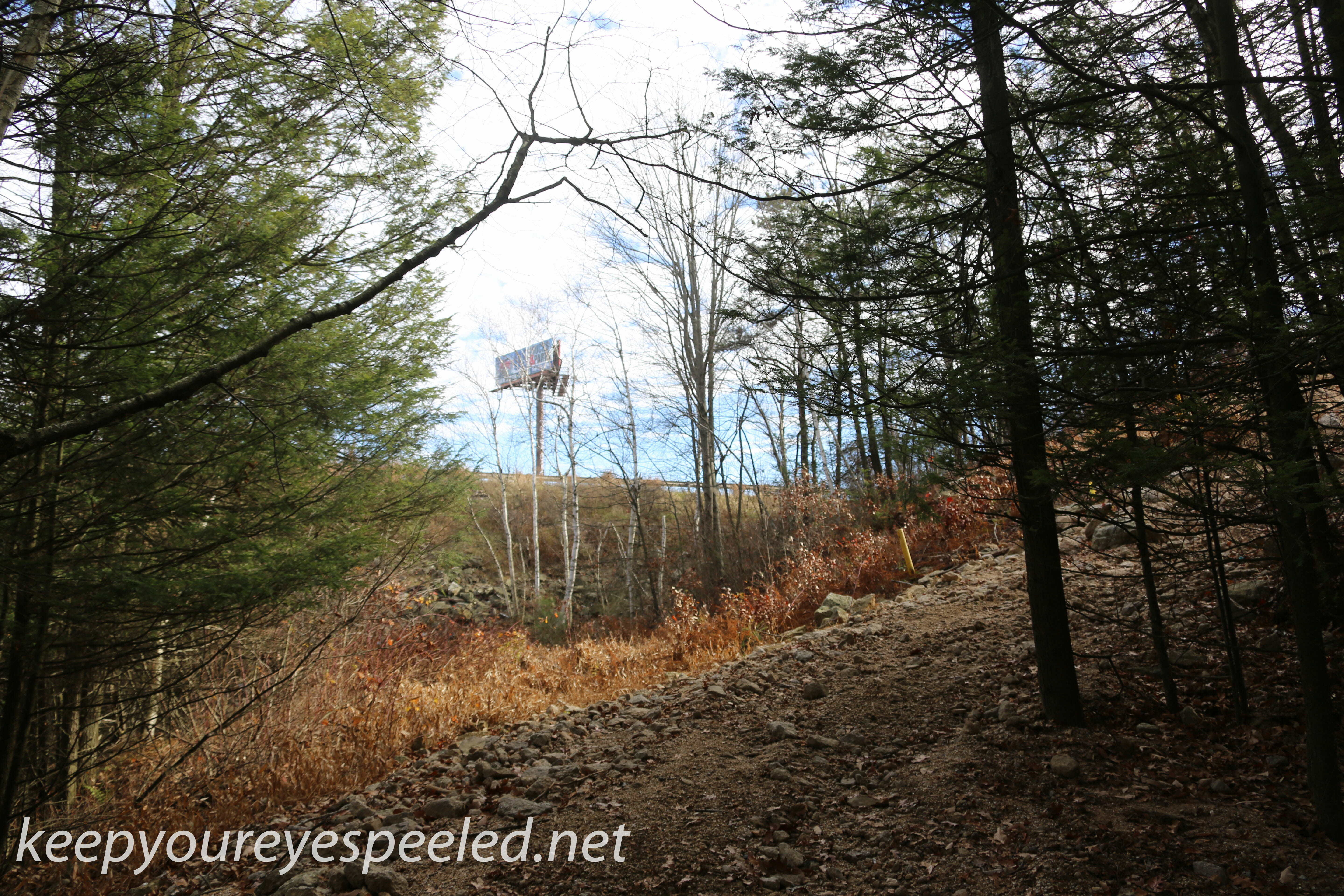
It was a long hike , almost four miles, and so I turned around and took a slow hike back. There was little wildlife in the woods, a few crows and pheasants I kicked up. And plenty of coyote poop. The forest is starting to take it’s long Winter nap. But there were plenty of good memories to keep me company on the long walk back. Here is a link to some more photographs from my hike. https://keepyoureyespeeled.net/photographs-page-2/nggallery/photographs-page-two-blog/stony-mountain-black-road-november-21-2015
“We do not go to the green woods and crystal waters to rough it, we go to smooth it. We get it rough enough at home, in towns and cities.”
– G. W. Sears
Categories
Recent Comments